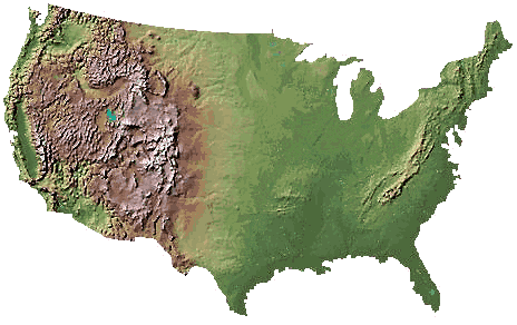
Known as a Digital Elevation Model, DEMs are maps that show a variety of information such as wind patterns or precipitation patterns, however the one main attribute to these maps is elevation differences. The map provided shows the different elevations in the United States, with most of the elevation differences being shown in the different mountain chains of America. By displaying these difference elevations, this map could be considered a DEM map.
No comments:
Post a Comment